
 Izdanje Srbija
 Serbische Ausgabe
 Izdanje BiH
 Izdanje Crna Gora


 News
News


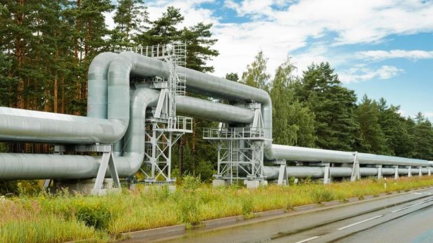
Plan for final section on Corridor 11 from Pozega to Boljare adopted

(Photo: Nacrt PPPPN/screenshot)
As said in the Decree, the Spatial Plan provides the planning basis for the use, development and protection of the special-purpose area of the Belgrade-South Adriatic infrastructure corridor, Pozega-Boljare section, in the territories of the municipalities of Pozega, Arilje, Ivanjica and Sjenica.
The drafting authority of the Spatial Plan is the Ministry of Construction, Transport and Infrastructure. The expert planner for the Spatial Plan is the Institute for Architecture and Urban Planning of Serbia from Belgrade, JUGINUS d.o.o. from Belgrade and the PE Urban Planning Institute Nis, in cooperation with the planners of the Preliminary Design, CHINA ROAD AND BRIDGE CORPORATION SERBIA BELGRADE BRANCH.
The investor in the preparation of the Spatial Plan is the PE Roads of Serbia. The Spatial Plan was prepared parallel with the preparation of the elements of the Preliminary Design and in line with the General Project and the Prefeasibility Study for the construction of the highway E-763 Belgrade-South Adriatic, according to the Official Gazette.
According to this plan, the section from Pozega to the border with Montenegro is 106.3 kilometers long.
Companies:
Tags:
Spatial Plan of the Special Purpose Area of the Belgrade South Adriatic Infrastructure Corridor
Corridor 11
PoĹľega Boljare highway
Comments
Your comment
Naš izbor

Most Important News
Full information is available only to commercial users-subscribers and it is necessary to log in.
Follow the news, tenders, grants, legal regulations and reports on our portal.
Registracija na eKapiji vam omogućava pristup potpunim informacijama i dnevnom biltenu
Naš dnevni ekonomski bilten će stizati na vašu mejl adresu krajem svakog radnog dana. Bilteni su personalizovani prema interesovanjima svakog korisnika zasebno,
uz konsultacije sa našim ekspertima.